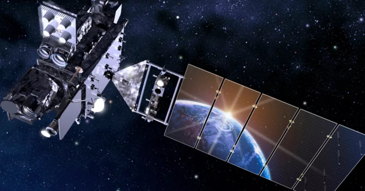
Foundations of Modern Meteorology: The GOES Program
The Geostationary Operational Environmental Satellites (GOES) program, a joint initiative between NASA and the National Oceanic and Atmospheric Administration (NOAA), represents one of the most enduring endeavors in the history of meteorological and planetary observation. The program's inaugural spacecraft, GOES-1, was launched on October 16, 1975. By operating in geostationary orbit, the satellite series unlocked the ability to maintain a continuous gaze over specific regions, providing unprecedented temporal coverage of Earth's atmospheric dynamics.
Simultaneous Tracking of Terrestrial and Space Weather
GOES satellites perform tasks that extend far beyond tracking cloud formations and hurricane trajectories. Utilizing advanced optical and infrared instruments, they map atmospheric parameters with high fidelity, trace real-time lightning activity, and monitor solar phenomena and space weather. Tracking solar flares and geomagnetic storms is critical for protecting orbital assets, communications infrastructure, and terrestrial power grids from severe space weather disturbances.
Evolution of Predictive Models and Scientific Legacy
The continuous data stream supplied by the GOES network has become an indispensable baseline for both numerical climate models and severe weather warning systems. Decades of combined observations have deepened scientific understanding of atmospheric physics and solar-terrestrial interactions, setting the technological standard for future Earth and space observation architectures.


Comments
Loading comments...