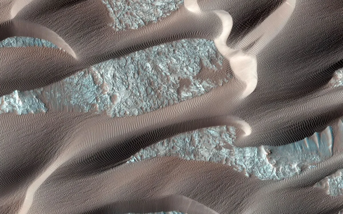
From Orbital Imaging to Surface Analysis: Study Background
High-resolution orbital images of numerous worlds across our solar system share a striking common feature: sand dunes on any body possessing an atmosphere. For decades, scientists have used the size and orientation of these dunes as weather vanes to determine which direction winds blow on planets like Mars or moons like Titan. However, traditional weather vanes cannot reveal the full atmospheric story, as they fail to measure wind speed. Researchers at Stanford University have now overcome this long-standing limitation.
How Sand Dunes Serve as Wind Speedometers
According to a new study published in the Proceedings of the National Academy of Sciences (PNAS), sand dunes can indeed reveal wind speeds. By analyzing the physical dynamics of tiny sand grains and the resulting dune morphology, the Stanford team developed mathematical models that translate orbital observations of dune fields into precise wind velocity measurements. This approach effectively turns sand dunes into cosmic speedometers without requiring direct surface sensor deployment.
Impact on Planetary Science and Future Exploration
This innovative method provides a breakthrough tool for mapping atmospheric circulation and climate patterns on other planetary bodies. Knowing wind speeds on worlds where no landers or rovers have ever touched down is critical for planning safe future entry and descent missions, as well as modeling surface erosion over geological timescales. The technique unlocks a deeper understanding of alien weather using existing high-resolution satellite imagery.
Comments
Loading comments...