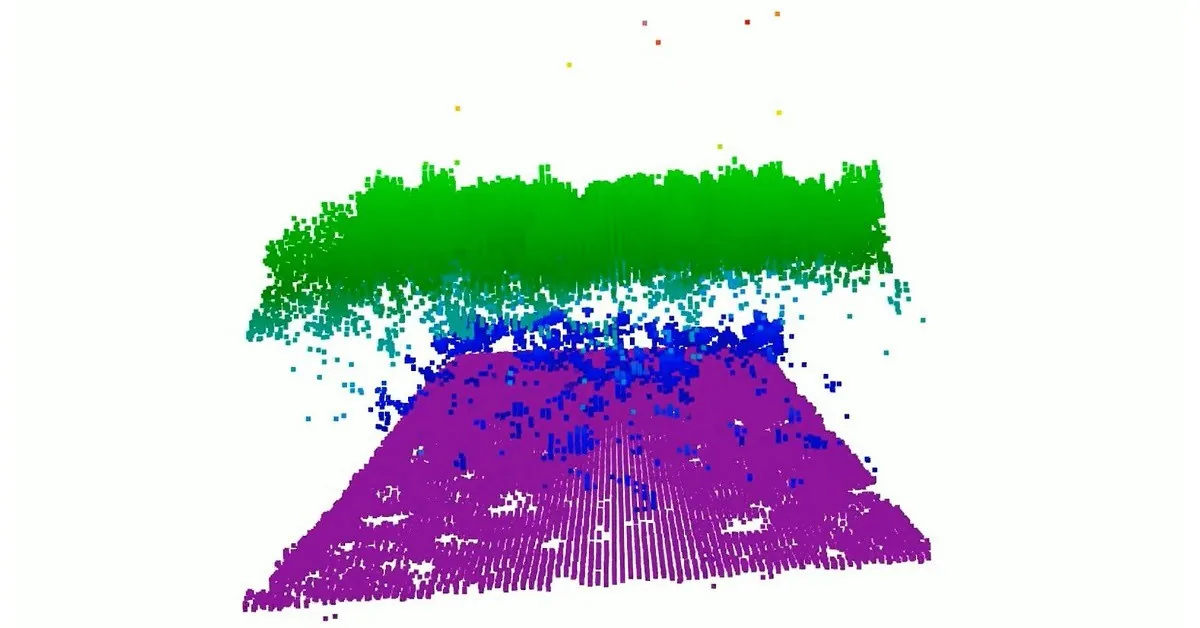
Current Limitations in Orbital Topographic Mapping
Today's space-based laser instruments measure Earth's forests, vegetation, and terrain one narrow path at a time. While this approach yields high-precision data along specific tracks, it leaves enormous gaps between consecutive orbital passes. Millions of acres of land remain directly unmeasured from orbit, forcing scientists to rely on interpolation and modeling to estimate surface profiles and biomass distribution across vast regions.
CASALS and Machine Learning-Driven Lidar Architecture
To overcome these observation gaps, NASA's CASALS instrument integrates machine learning algorithms with an ultra-compact lidar payload. Unlike rigid traditional systems that fire along fixed, narrow paths, CASALS adaptively sweeps across wide swaths of the terrain. By dynamically adjusting its measurement pattern in real time, the system captures comprehensive 3D elevation profiles without sacrificing spatial resolution.
Scientific Significance for Global Surface Modeling
This technological leap will transform global topography and ecosystem monitoring by producing seamless elevation maps. Direct measurements over wider areas will significantly refine global carbon cycle assessments and climate modeling. Due to its reduced form factor, the CASALS instrument is well-suited for integration into next-generation satellite missions, setting a new standard for Earth observation systems.

Comments
Loading comments...